Description
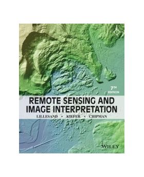
Remote Sensing and Image Interpretation 7th Edition is designed to be primarily used in two ways: as a textbook in the introductory courses in remote sensing and image interpretation and as a reference for the burgeoning number of practitioners who use geospatial information and analysis in their work.
Features
Published Date:
23/01/2015
ISBN:
9781118343289
Author:
Thomas Lillesand
Publisher:
John Wiley & Sons Inc
Format:
Paperback / softback
Dimensions:
190 mm x 233 mm x 26 mm
Pages:
736
Language:
English

